
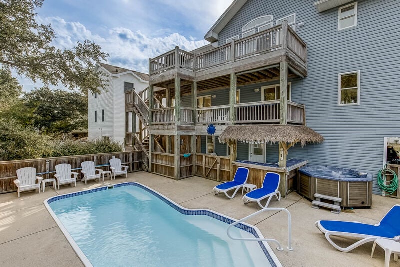
Beach Vacation in Corolla times 2We again have so many entries for our Memory Monday photo submission contest that we are bringing you two again this Monday.This week's First Memory Monday photo submission comes to us from Daniel Werner of Rutledge, Pennsylvania who stayed with Outer Banks Blue at
Read MoreTag: Outer Banks evacuation
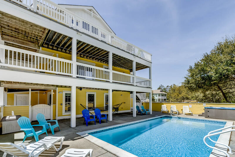
Memory Monday Submission 12/3/12Hot tub fun!This week's Memory Monday photo submission comes to us from Bob Evers of Horseheads, New York who stayed with Outer Banks Blue this past August in the property "Cara-Lina" in the Ocean Hill subdivision of Corolla. Bob shares this cute photo of
Read MoreFeatured Properties
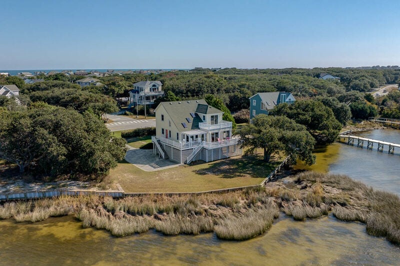
SSV8-Berry by the Bay
1600 FT from the Beach
4 bedrooms
2 baths
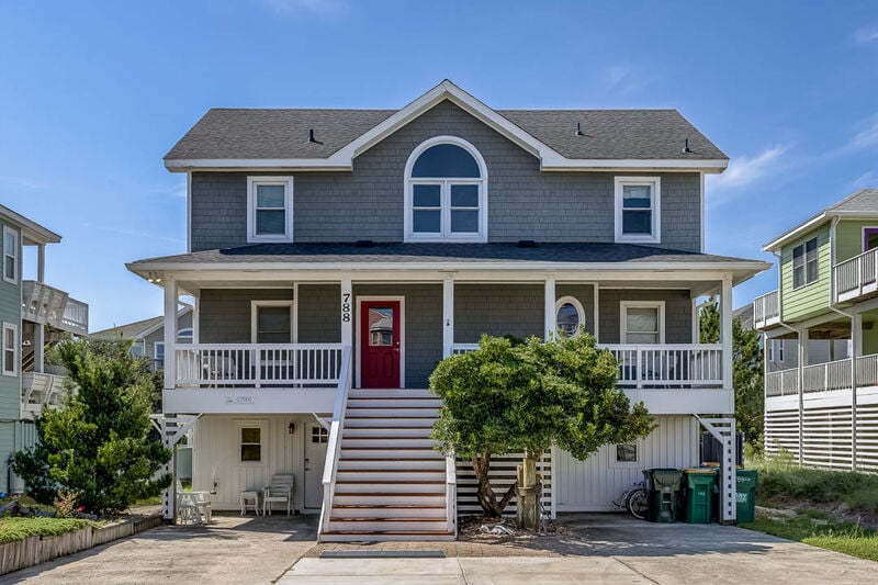
CP002-Belle Haven
499 FT from the Beach
6 bedrooms
5 baths
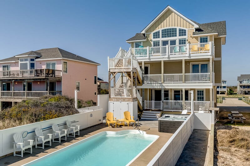
SNH080-Simply Paradise
Oceanfront
8 bedrooms
9 baths
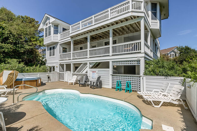
FS031-Duck's Delight
1300 FT from the Beach
7 bedrooms
7 baths
OS4K-Sea Mist
2040 FT from the Beach
6 bedrooms
5 baths
OS4I-Sunshine & Tan Lines
1470 FT from the Beach
6 bedrooms
4 baths