

While winter has its virtues, those of us who prefer tank tops to sweaters crave warm temps. If you're counting the days until spring, here's something for you to look forward to.Spring is the perfect season for an OBX getaway. Temps are warm but not torrid. Flowers are blooming. Restaurants are
Read MoreTag: Outer Banks weather

Sunrise in SanderlingThis week's Memory Monday photo submission comes to us from Corinne Sweeney of Kennett Square, Pennsylvania who stayed with Outer Banks Blue most recently in the property "Sea Fox" in Sanderling.Corinne shares with us a glorious, but typically beautiful Outer Banks sunrise.This
Read MoreMicro-Wind Turbines Spinning in Kitty HawkThis past Friday (July 25, 2014) North Carolina Dominion Power held a ribbon cutting ceremony at their Kitty Hawk operations facility to unveil the company's own on-site renewable energy to meet some of its electrical needs.The facility has 24 solar panels,
Read MoreMemory Monday 12/17/12You'd better be nice....you know whose coming soon...This week's Memory Monday photo submission comes to use from Jean Santos of Westerly, Rhode Island who stayed with Outer Banks Blue this past summer in the property "Peace Place" in Nags Head.This picture of Jean's
Read MoreMemory Monday 12/10/12 Dancing on the SandThis week's Memory Monday Photo Submission comes to us from Craig Scheirer of Stephens, Pennsylvania who stayed with Outer Banks Blue this past August in the vacation rental home "Breaking Winds" in Southern Shores.This picture wins our hearts as we see...
Read MoreMemory Monday Submission 12/3/12Hot tub fun!This week's Memory Monday photo submission comes to us from Bob Evers of Horseheads, New York who stayed with Outer Banks Blue this past August in the property "Cara-Lina" in the Ocean Hill subdivision of Corolla. Bob shares this cute photo of
Read MoreFeatured Properties
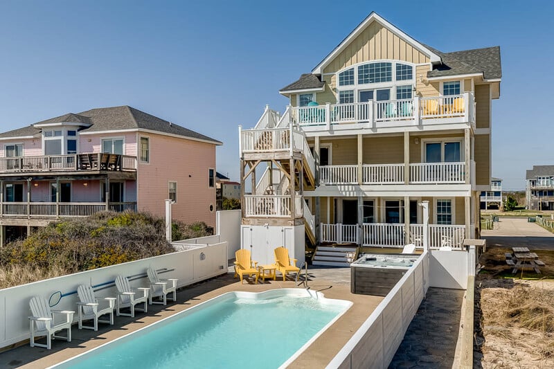
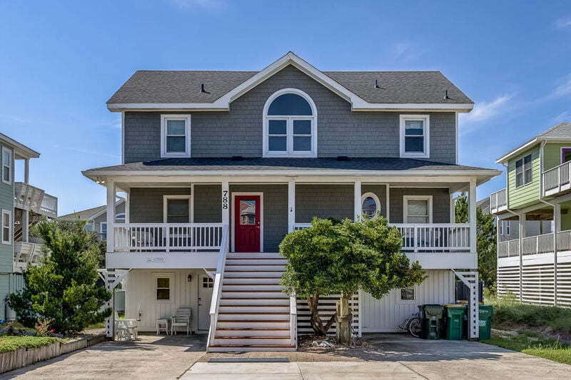
SNH080-Simply Paradise
Oceanfront
8 bedrooms
9 baths
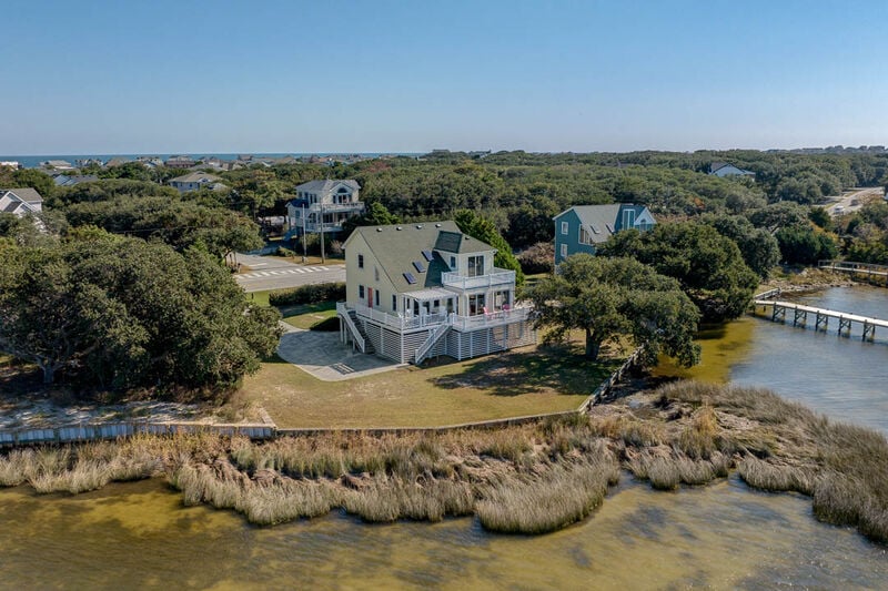
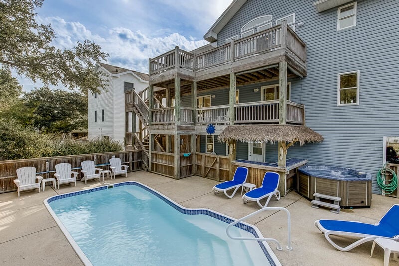
SSV8-Berry by the Bay
1600 FT from the Beach
4 bedrooms
2 baths
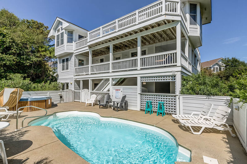
FS031-Duck's Delight
1300 FT from the Beach
7 bedrooms
7 baths
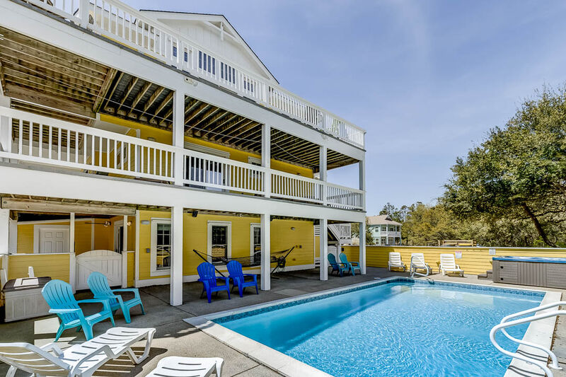
OS4I-Sunshine & Tan Lines
1470 FT from the Beach
6 bedrooms
4 baths
CP002-Belle Haven
499 FT from the Beach
6 bedrooms
5 baths
OS4K-Sea Mist
2040 FT from the Beach
6 bedrooms
5 baths